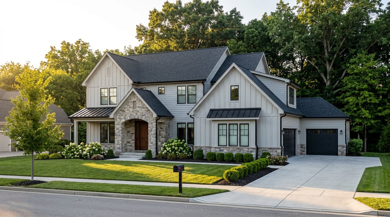
Englewood Cliffs Still Hasn't Gotten Its Own Door to the River Back
September 24, 2026
September 24, 2026
If you've lived in Englewood Cliffs long enough to remember when the gate at Dyckman Hill Road was just a gate and not a permanent barrier, you already know the punch line to this story. That entrance, the borough's own cut down into Palisades Interstate Park, has been closed to cars, bikes, and foot traffic since Hurricane Ida tore through the river corridor in 2021. Five years is a long time for a "temporary" closure to sit with no posted timeline for repair.
What's changed isn't that entrance. It's that two more ways down have failed since, and they failed for reasons that have nothing to do with bad luck and everything to do with where they sit on the cliff.
Henry Hudson Drive, the river-grade road that runs south from Englewood Cliffs toward Undercliff Picnic Area, has been closed between Englewood Circle and Undercliff since an advisory the Palisades Interstate Park updated on October 3, 2025. There's no funding timeline attached. The park has been soliciting donations toward the repair, which is usually a sign that the fix isn't cheap or quick.
For residents, that road was the other low-elevation option. If Dyckman Hill was out, Henry Hudson Drive was the workaround. As of this fall, it isn't.
Then came January 9, 2026. A major rockfall closed the Giant Stairs section of the Shore Trail, the boulder scramble that runs from Peanut Leap Cascade to Forest View near State Line Lookout. The park's alert flagged continued risk of additional rockfall on that slope, which is why the closure has held straight through winter, spring, and now into fall with no reopening date on the calendar.
Giant Stairs was never a casual after-work walk. It's a four-hour, cliff-side scramble that experienced hikers approach carefully. But it was the third leg of the low-elevation system, and now it's gone too.
Here's the part that actually matters if you live here and want to understand what's happening rather than just accept it: this isn't three unrelated maintenance backlogs. It's one piece of geography with two different failure modes.
The Palisades rise as much as 520 feet above the Hudson at their highest point, and every one of these closed routes runs along or near the base of that rock face. That's exactly the terrain where slides happen, and it's also exactly the terrain most exposed to flooding and washout when a storm the size of Ida moves through. Dyckman Hill and Henry Hudson Drive went down to water damage. Giant Stairs went down to rock. Different mechanisms, same low-elevation exposure.
The cliff-top network, by contrast, doesn't share that risk. The main trail north of State Line Lookout runs along the top of the ridge, set back from the base of the cliff and well above the flood line. Part of that route even follows pavement originally built in 1926 as a state highway, later absorbed into Route 9W and abandoned once the Palisades Interstate Parkway went in during the 1950s. It was built to sit above the problem, and for the last five years, that's exactly what it's done.
The functional entry point into this stretch of the park right now is State Line Lookout, just north of the Englewood Cliffs line in Alpine. It's reachable off its own unnumbered exit on the Palisades Interstate Parkway northbound, about two miles north of Exit 2. Weekend parking is metered at $2.50 an hour with the first hour free, which is a modest toll for one fully open door into this section of the Palisades.
The lookout itself has been anchored since 1937 by the Lookout Inn, a WPA-era building that still runs as a café and gift shop, open roughly 9:30 a.m. to 5 p.m. most days. From there, the Long Path runs north along the ridge past Allison Park, an eight-acre cliff-top overlook named for early Palisades preservationist William O. Allison, with views back down over the river.
If you want the river itself rather than the view of it, the other still-open door is south, through the Edgewater entrance. That gets you into Englewood Picnic Area, home to Bloomer's Beach and the trailhead for two hikes the park still lists as fully accessible: Carpenter's Loop, a moderate 5.5-mile route that runs about two and a half hours, and Clinton Point, a challenging eight-mile out-and-back that takes roughly five hours round trip. Neither touches the closed sections.
For most people in Englewood Cliffs, the honest answer isn't Giant Stairs or Clinton Point anyway. It's a shorter loop that avoids all three closures without feeling like a workaround.
Drive south on Sylvan Avenue to Palisade Avenue, then down to River Road and into the park at the Edgewater entrance. Metered parking, so bring quarters or the app. Claim a picnic table at Englewood Picnic Area, and if the beach is the point of the day rather than the hike, go early. If a moderate walk is the goal, Carpenter's Loop starts right there.
Head back up the hill by mid-afternoon. For a scenic close to the day that doesn't touch any of the closed terrain, take the Parkway north instead, to Rockefeller Lookout or State Line Lookout itself. Both are under thirty minutes each way from the Cliffs, and neither route crosses Dyckman Hill Road or the closed stretch of Henry Hudson Drive.
Then dinner back on Sylvan. If it's a Saturday-night occasion, Lefkes Estiatorio has become the borough's dress-up option, an upscale Greek spot with a wraparound bar and a menu that runs toward branzino, scallops, and a wine list that matches the valet parking out front. For breakfast on a weekday, Cliffs Cafe at 41 Sylvan Avenue is a separate low-key option, open weekday mornings through early afternoon for the kind of breakfast sandwich that doesn't require a reservation.
The habit most Englewood Cliffs residents built over years, cutting down toward the river through their own backyard, doesn't work the way it used to and hasn't for a while now. That's not a complaint about the park's maintenance schedule. It's a fact about the ground the borough sits on, and once you see why the low route keeps breaking while the ridge-top route never has, the adjustment stops feeling like a loss and starts feeling like a better set of directions.
The Palisades are still there. The river is still there. For a ridge-top view, one open door is State Line Lookout, and it comes with a café built in 1937 that most people driving past on 9W never stop for.
If you're weighing what it actually feels like to live in Englewood Cliffs day to day, this is the kind of detail that doesn't show up on a listing sheet. Stacy Esser Group works this market street by street, not just spreadsheet by spreadsheet, and that's the kind of read we'll keep giving you. If you're thinking about your next move in Bergen County, Stacy Esser Group is a good place to start that conversation. Schedule a Meeting Today.
Stay up to date on the latest real estate trends.

SEG is a high performing Bergen County luxury real estate team that blends relationship driven service, cutting edge marketing, and strategic negotiation to consistently outperform traditional agents.